One of the greatest challenges of any underground construction project is identifying the location of all underground gas lines and other utilities. Without accurate location data, the danger to construction crews is greatly increased. Projects may also suffer from delays and cost increases as hidden utilities are discovered.
Utility companies offer “one call” services that provide a general location of utilities marked by paint lines on the surface. But these markers are not always precise and do not typically provide a depth – so they are of limited use to construction crews. Plus, once the digging starts, those paint lines are gone.
The Solution: Locusview
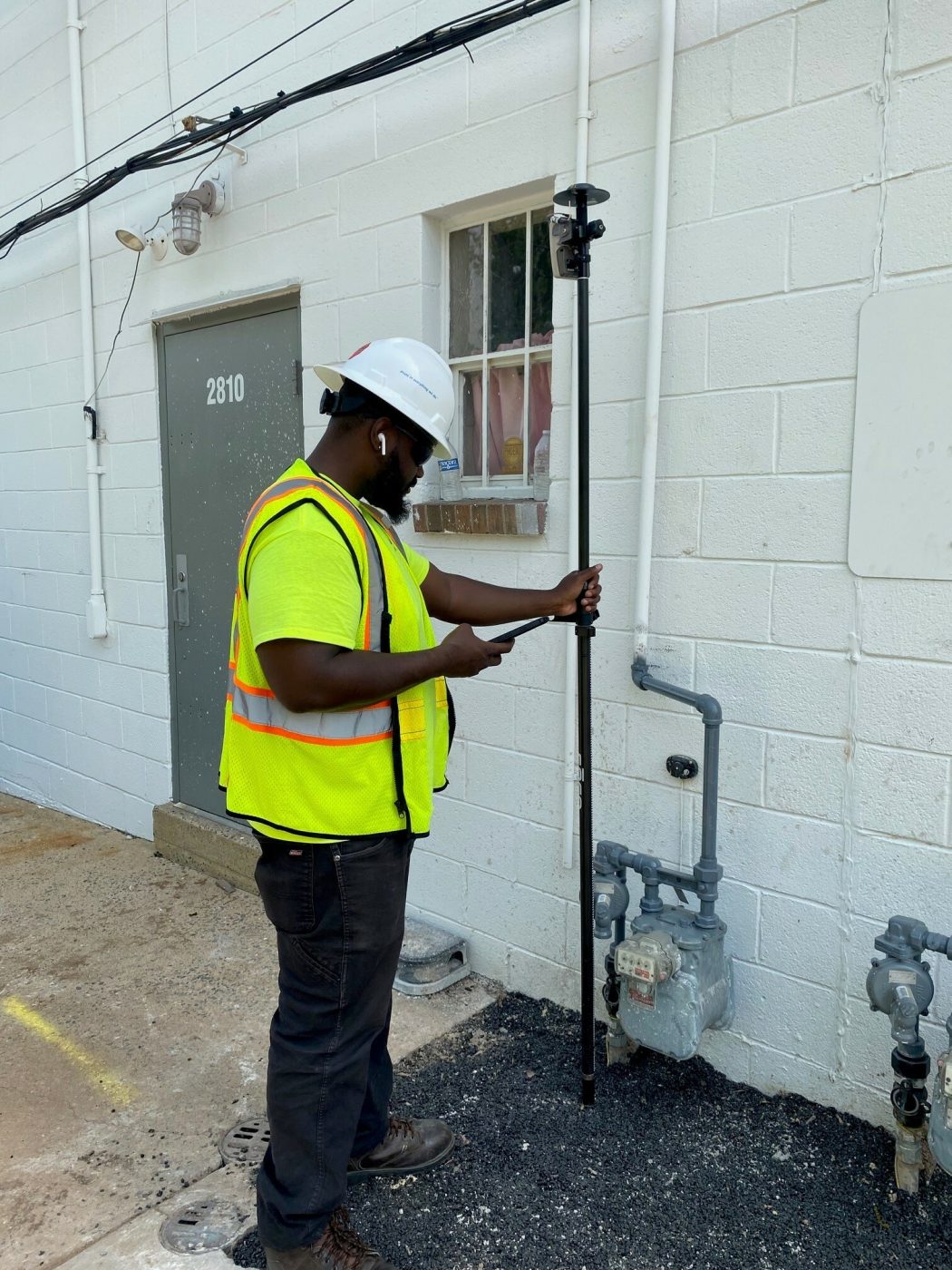
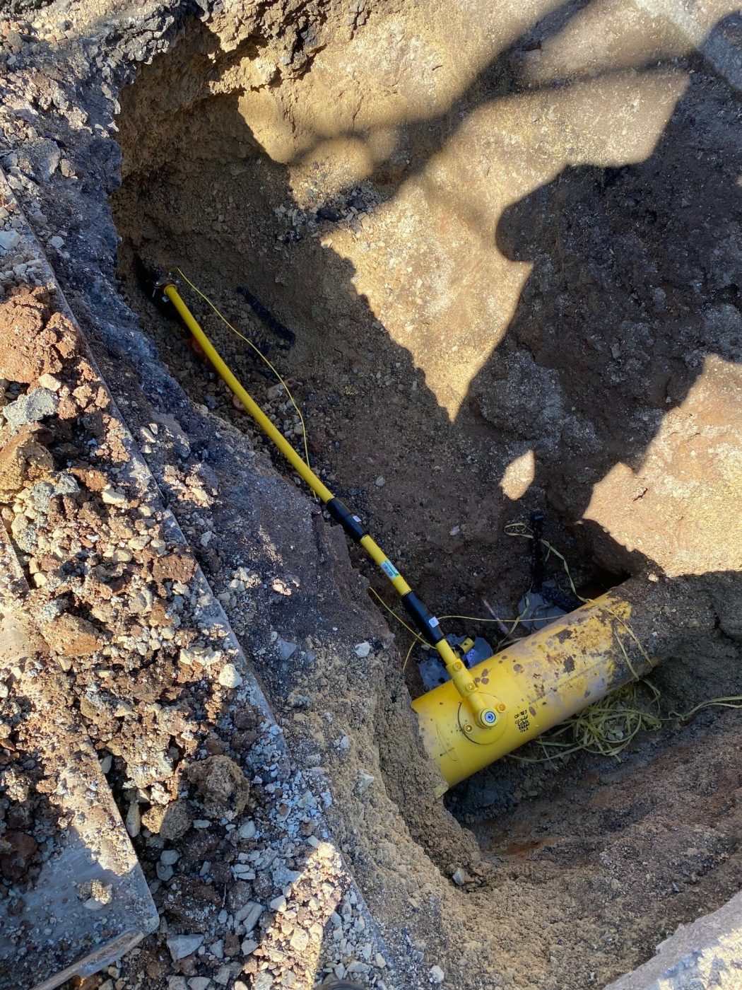
To provide construction teams with much more accurate and useful data, PECO developed the Locusview digital platform. Danella’s Locusview team works alongside PECO reps to digitally map all gas mains and utility services at Danella work sites. They provide a precise, comprehensive mapping of the entire underground area so crews know exactly where all utility services are located.
The team begins with a pre-construction mapping of the area so crews have the data they need to get started. Because the mapping is so accurate, crews know the exact position of all underground gas lines and other utilities so they can operate with much greater safety than before this technology was available.
As the construction continues, the Locusview team can return to conduct follow-up mapping. These updated maps will reflect changes as the construction progresses and new services are installed. In this way, crews always have the updated data they need to operate with safety and confidence.
Keeping Sites Safe
“Safety is our top priority,” says Locusview Gas Record Mapping Manager Marco Tolliferreo Sr. “We provide an accurate account of where our crews’ work is located for present and future safety and accountability.”
The Locusview platform is the most precise way to locate services using a digital platform and provides a very accurate 3D digital map of all services including depth. It utilizes GPS for much greater accuracy than “one call” services – essentially providing each utility’s exact location.
Since the platform is all digital, the collected information is easily shared electronically and accessed for present and future reference. Construction crews can view the map on tablets at the job site in real time. This makes the maps even more useful to increase safety and reduce potential delays.
The Locusview team is proud of the contribution they are making to assist Danella work crews in getting their jobs done. “Our department may seem small,” Tolliferreo Sr. says, “but we are an essential, hardworking team committed to Danella’s mission.”